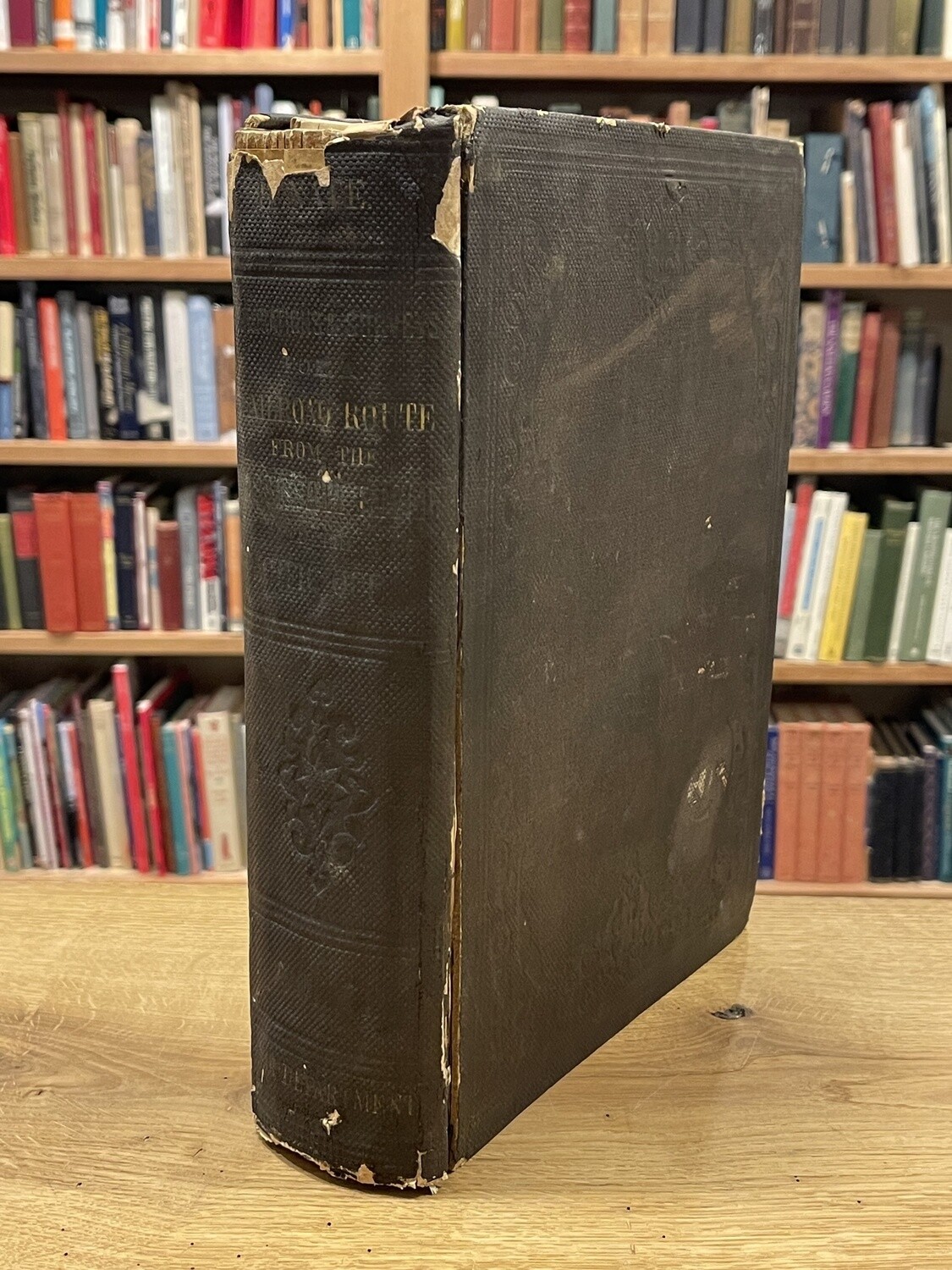
Reports of Explorations and surveys
[United States Topographical Engineers, Warren, Lieutenant Governor Kemble] Reports Of Explorations And Surveys To Ascertain The Most Practicable And Economical Route For A Railroad From The Mississippi River To The Pacific Ocean. Made Under The Direction Of The Secretary Of War In 1853-56. According To Acts Of Congress Of March 3, 1853, May 31, 1854, And August 5, 1854. VOLUME XI. Washington: George W. Bowman, Printer. 1861
Thick quarto volume with 34 Maps, including the important Warren Map showing a comprehensive view of the Western US just prior to the Civil War. Also including 11 Steel Engravings, 5 of which are large fold-out panoramas). Scarce survey volume packed with visuals. Binding a bit tattered but holding. Private Library ex-Libris on front paste-down reading "Daniels Library, S.L.D. From "Father" No 108 1920"

